
Foreign language proficiency test
Test of educational readiness
Core subjects:
- Geodesy
- Cartography
EP purpose:
Preparation of masters for professional, research, production and technological, organizational and managerial, pedagogical activities in the field of geodesy, engineering geodesy, remote sensing of the Earth, cartography.
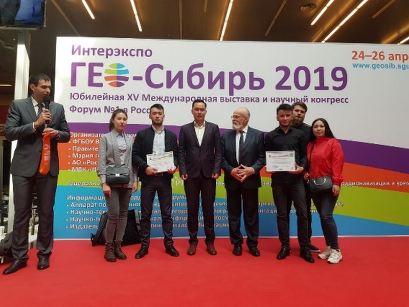
Relevance of the programme:
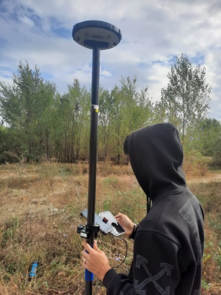
The knowledge and skills of specialists find application in both global and local scales: space research, geodetic support of design, construction, operation of engineering structure, observation of deformations, development of electronic maps, atlases, plans, surveying from unmanned aerial vehicles.
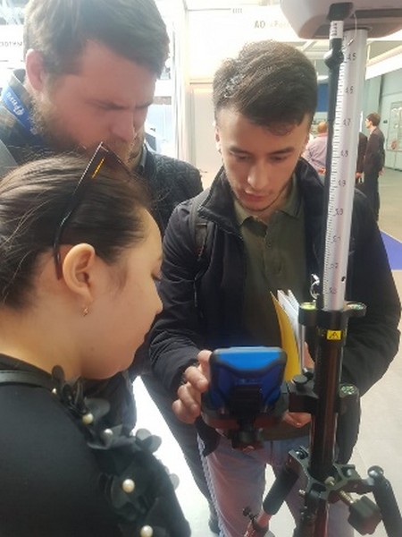
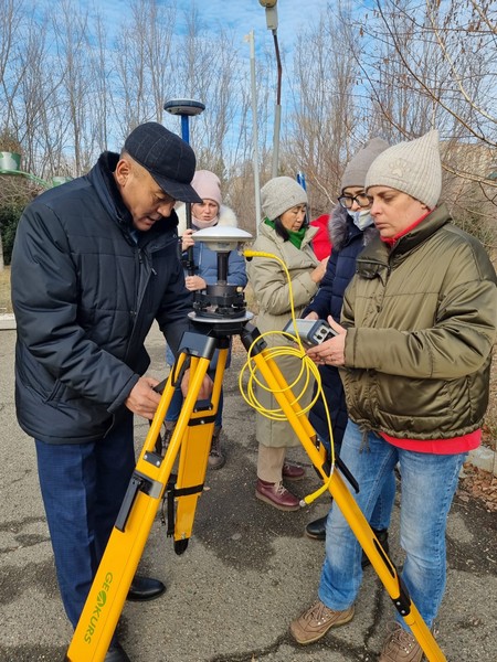
Geodesy graduates acquire skills of work and data processing in specialized computer programs (GEOMATICA, AutoCAD, MapInfo, QGIS, FOTOMOD, Agisoft PhotoScan, GIS Sputnik Agro and others), can work with modern geodetic equipment, perform aerial surveying, topographic surveying, develop digital maps and maintain databases.
The acquired knowledge in topographic and geodetic surveying, aerial photography, cartography and Earth remote sensing allows the graduates to successfully implement the acquired knowledge in their future professional activities and be competitive.
Partner universities:
- University of Stuttgart, Germany;
- Siberian State University of Geosystems and Technology, Russian Federation;
- Beuth University of Applied Sciences Germany.
Partner enterprises:
- Branch of the Non-profit joint-stock company «State Corporation "Government for Citizens" in the East Kazakhstan Region;
- GEOSAT LLP.
12.02.2024