
Interdisciplinary Laboratory of Remote Sensing Methods for Earth Studies
Objective: To develop and implement modern remote sensing methods and geoinformation technologies for comprehensive Earth studies, effective solution of applied tasks, and ensuring sustainable territorial development.
Tasks:
- development of scientific research in the field of Earth remote sensing and geographic information systems (GIS);
- development and improvement of methods for processing and interpretation of satellite data;
- creation of digital geological models and maps of various scales and purposes;
- identification of patterns of mineral deposits and forecasting of new promising facilities targets;
- ensuring monitoring of natural and anthropogenic processes at regional and local levels;
- training of highly qualified specialists and development of educational programs in geoinformatics and remote sensing;
- development of scientific cooperation with national and international research and educational organizations;
- participation in the implementation of governmental, international, and industry-specific scientific and technical projects.
Laboratory Activities:
- The Interdisciplinary Laboratory of Remote Sensing Methods for Earth Studies conducts research and educational activities in the field of natural and anthropogenic process analysis using modern geoinformation technologies and Earth remote sensing (ERS) data.
- Development of digital terrain models for natural and technogenic deposits, as well as occurrences of rare metals, based on regional geological data using UAVs and satellite imagery;
- Creation of factual data maps based on field surveys and remote sensing results using GIS technologies;
- Development of scientifically grounded methodologies for interpreting remote sensing data of natural and technogenic deposit areas;
- Creation of a multi-level GIS database of rare-metal objects based on processing and analysis of remote sensing data.
This laboratory is interdisciplinary in nature.
The main scientific fields include geodesy, geology, mining engineering, and aerospace technologies.
|
|
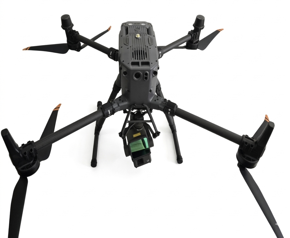
DJL Matrice 350RTK aerial vehicle; |
|
|
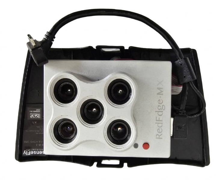
MicaSense RedEge MX camera; |
|
|
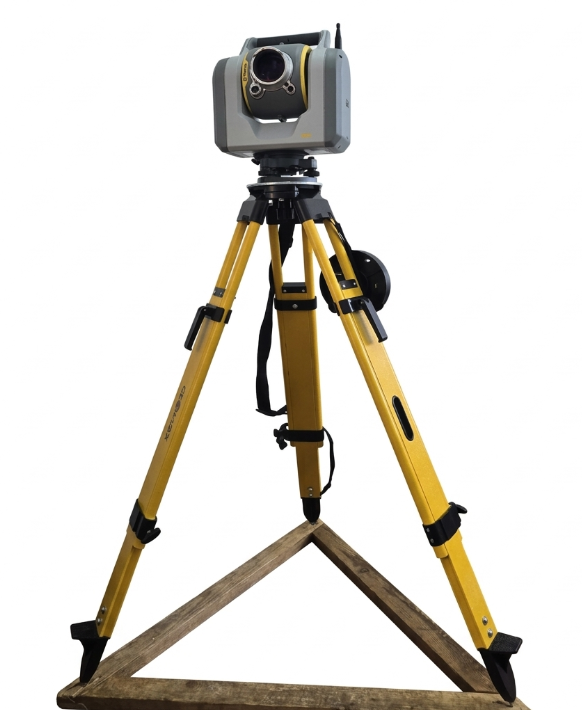
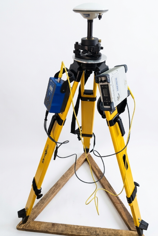
Trimble серии SX12 series laser scanner (scanning total station); |
|
|
Unmanned aerial vehicle (UAV) kit (in a case, including software and 2 cameras + senseFly camera with mount + Parrot Sequoia multispectral camera + senseFly charging device + mount for installing the Sequoia camera + spare parts kit + Lenovo 15.6" laptop) |
|
|
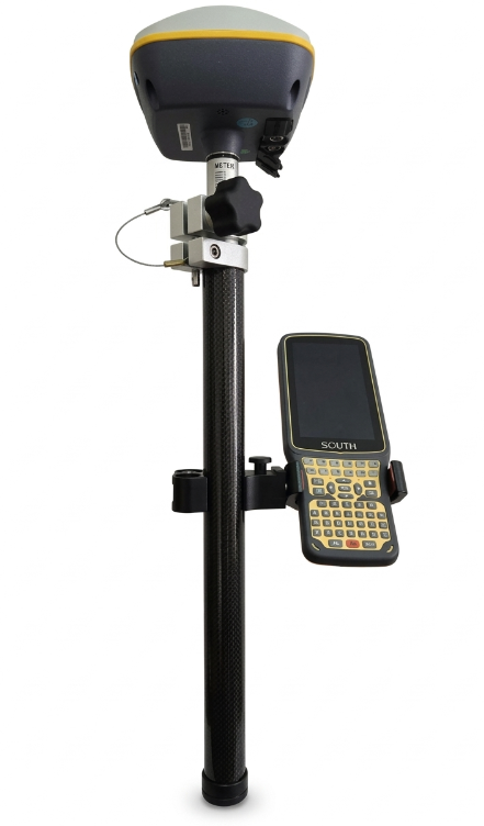
GNSS SP60 satellite equipment set; |
|
|
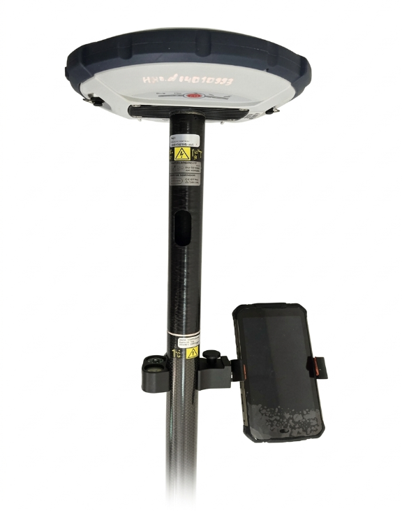
GNSS SOUTH S680 receiver; |
|
|
GNSS SP90 satellite equipment set; |
|
|
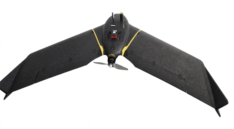
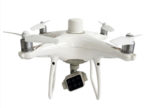
DJI P4 Mulnispectrail aerial vehicle (quadcopter) |
Commercial License for Envi+ Programming Language
Envi+ is a modern software platform that includes a programming language and an integrated development environment (IDE), designed for the development of applied, engineering, and automated systems:
- use in commercial projects and industrial applications;
- access to all development and execution tools;
- rights to distribute developed solutions;
- access to updates and technical support.
Scope of application:
Envi+ is used across various industries where process automation and system integration are required:
- industrial automation;
- development of equipment control systems and production process monitoring systems;
- data processing and analysis;
- database management, reporting, and analytics;
- integration of information systems;
- data exchange between different software products and services;
- development of enterprise applications, internal systems, and specialized tools;
- development of client-server applications and remote control systems.
ArcGIS Pro Software
ArcGIS Pro provides a wide range of tools for solving applied and analytical tasks:
- creation and editing of maps and spatial data;
- performing spatial analysis of any complexity;
- working with 2D and 3D visualization;
- integration with databases and external systems;
- preparation of analytical reports and cartographic materials.
Cloud technologies extend the capabilities of ArcGIS Pro by providing access to data and services from anywhere in the world.
Key advantages of cloud infrastructure:
- centralized storage of geospatial data;
- real-time collaboration;
- scalability and high availability of services;
- integration with web applications and mobile solutions;
- enhanced security and reliability of data storage.
DJI Terra is software designed for processing drone data.
Key capabilities:
- fast real-time data reconstruction and detailed post-processing of point clouds;
- creation of high-resolution orthophotos for agriculture and geodesy;
- generation of photorealistic 3D models of objects and territories for inspection and construction;
- multispectral analysis;
- creation of vegetation index maps (NDVI, GNDVI) for precision agriculture.
Rocscience software is used in the laboratory to solve geomechanical modeling and stability analysis tasks.
The software allows:
- modeling of geomechanical processes;
- assessment of slope stability and underground excavations;
- conducting scientific research and educational projects.
The use of this software suite ensures processing and interpretation of laboratory test results and enhances the reliability of engineering decisions.