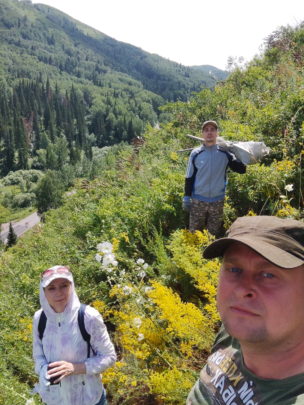
On the implementation of the project PTF BR21882022 "Research of avalanche activity in the East Kazakhstan region for development of monitoring systems and scientific substantiation of their placement" (/research/progectsmon/projects/br21882022.aspx) on July 2, 2024, the research group of the project completed a set of field research to the survey of an avalanche-prone area near the village of Gornaya Ulbinka. The avalanche-prone area is located in the Glubokovsky district along the route of the Prohodnaya river basin along the Ust–Kamenogorsk – Gornaya Ulbinka - Severnoye highway. There are many avalanche-prone areas along this route, they are monitored by employees of the State Institution "Kazselezashchita", for this purpose snow measuring rails are installed on the slopes.
The complex of field research included work on surveying the slope, determining the location of the mast of the avalanche hazard monitoring system being developed in the project. Soil samples were taken for testing in these places on the slope.
One of the main tasks in the project is to survey the slopes using modern LIDAR technology. It is used to create Digital Twin of various natural and manmade objects. The project team conducted an avalanche-prone slope survey from a Matrice-300 UAV with LIDAR Hovermap Plus high-precision equipment installed on it. This equipment is manufactured by the Australian company Emesent. International cooperation within the framework of the project with Emesent was organized thanks to the partners of the university of Alpha-Safety LLP. The company supports and promotes the use of their equipment for research purposes. Therefore, representatives of the company visited the avalanche-prone area and looked at how the work to survey the slope was carried out. The company was represented by Mike Workman, Sales Director of EMEA (Europe, Middle East and Africa) and Jeremy Sofonia, PhD, Senior Technical Specialist. They got acquainted with the research and gave their recommendations on how to improve the use of equipment for the purposes of the project.
In the future, the digital data obtained will be used in the project to simulate avalanches and develop methodological foundations for an avalanche hazard monitoring system.


